

Champillon Pass
The hike starts in the small square of Vachéry, overlooked by the Medieval Tower. Taking the paved road on the right, you reach the village of La Collère and then take the trail that descends towards the Menouve stream.
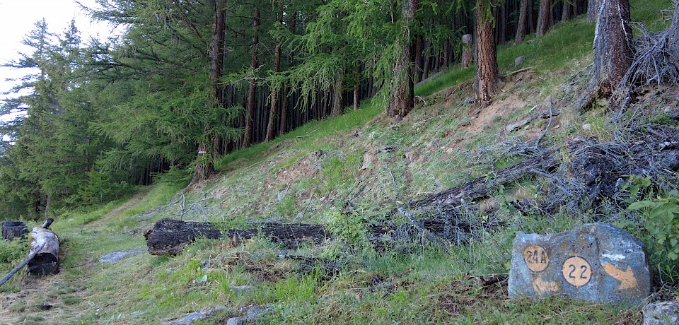
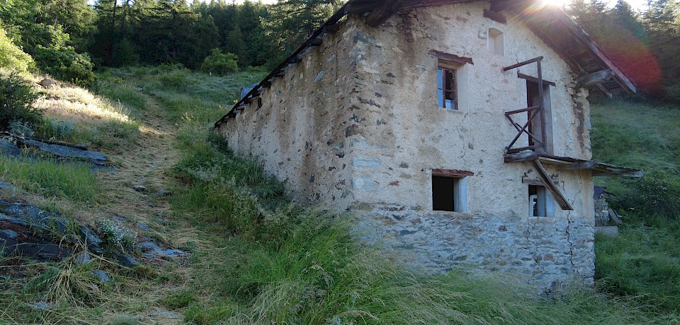
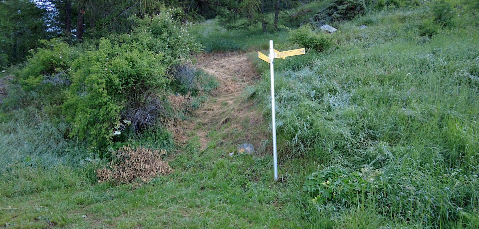
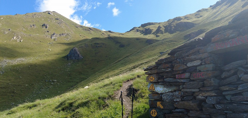
A few meters past the bridge over the stream, you take trail number 22, which ascends to the village of Cerisey (1411 m above sea level). Leaving the small riding school on the right, you take the trail that climbs through the woods and reaches Casa Guet (1681 m above sea level). Once you find the road that covers the "ru d’Allein," you cross it and continue the ascent. At an approximate altitude of 1800 m above sea level, the itinerary turns left and becomes almost flat, crossing the valley slope.
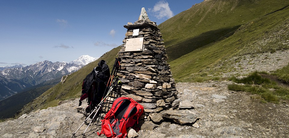
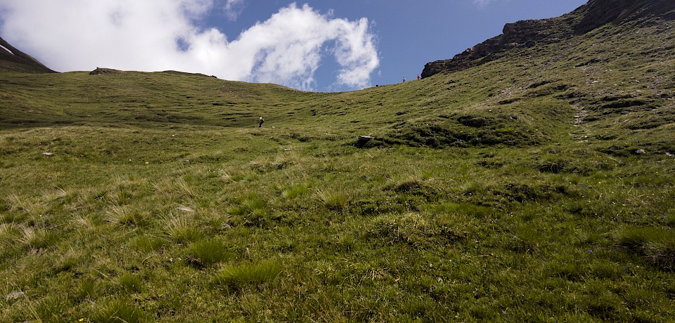
At an altitude of 2350 m above sea level, near the alpine pasture of Creux de Bleintse (2377 m above sea level), you intersect with the AV1 marked trail, which leads to the visible Champillon Pass.
Once you get to the Champillon Pass, you can easily reach the nearby Champillon Adolphe Letey Refuge for refreshments and rest.